
Following a Valley Stream Street Record
Address work in Valley Stream begins with a parcel, not a roster of people. The County assessment viewer can connect a house number to its Section-Block-Lot, commonly called an SBL. That identifier makes it easier to compare the property record, a local tax-roll entry, and later land filings. The result is evidence about a parcel and its dated transactions. It is not proof of every current occupant. A tax mailing address can differ from the address on the ground, and a party named in a recorded instrument can be a trustee, lender, agent, or former owner.
For a Valley Stream by-address search, keep a small record of the address as entered, the returned SBL, the Village or town field, and the date shown by each system. Check each source in sequence rather than trying to turn one record into a full household list.
- Enter the address in the Nassau assessment viewer and preserve the SBL, parcel address, assessment details, and jurisdiction fields returned.
- Open the mapped parcel, use Identify on it and its abutting parcel shapes, and record each neighboring SBL before leaving the map.
- Compare the Village tax roll for its dated owner-mailing, deed-reference, value, exemption, and parcel context.
- Use the County Clerk index with a party name, document type, or date range to locate a recorded deed or related land instrument.
- For historic address context, request an actual numerical or criss-cross directory, newspaper, or map from local historical repositories rather than assuming one is online.
Note: A sequence of parcel records can establish a property trail, but each step needs a date and cannot establish a complete present household.
Valley Stream Street Directory Fields
The Nassau County Land Records Viewer is the strongest public starting point for a Valley Stream address. Its landing search exposes address, SBL, and landmark routes. The public page inspected did not expose an owner-name field, so an address-first result should not be described as a name lookup. In address mode, the viewer asks for a house number, street name, town, and ZIP. It specifically says to omit a directional prefix and the street type, such as Road, Street, or Avenue, from the street-name field.
The Viewer advertises assessment-roll data, district information, tax maps, property photographs, past taxes and rates, exemptions, comparable sales, and a link to its mapping system. CAPTCHA applies to unregistered public use; the site says an account can bypass that challenge. That access detail does not expand what a record can prove.
| LRV field or mode | Entry type | Use for a Valley Stream address |
|---|---|---|
| Section, Block, Lot | Three text fields | All three identify a parcel for SBL lookup; copy the Assessment format exactly. |
| House Number | Text field | Starts the address route with the number used by the property record. |
| Name of Street | Text field | Enter the name without a direction or an artery suffix. |
| Town and ZIP | Rendered text or selection fields | Narrow a matching address when the street name is shared. |
| CAPTCHA or account | Challenge and account link | Applies to public access; an account bypasses the challenge stated by the Viewer. |
A capture of the Land Records Viewer search shows the address and SBL entry paths used for this Valley Stream address workflow.
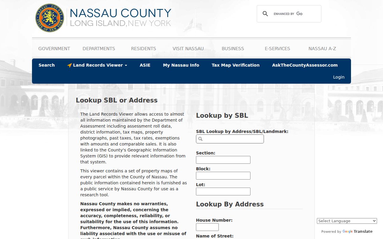
Once an address resolves, the returned SBL is the useful bridge to mapped land information and a later Clerk search. Do not assume that formatting copied from the Viewer will match the Clerk's form without checking it.
Mapping Valley Stream Streets by Parcel
The Nassau Land Records Viewer map adds parcel geometry to a street-by-street search. Use Search by Address and Go, then use Identify on the target parcel and each adjoining shape. Its visible controls include Legend, Layers, Tools, Identify, and measurement for area, distance, and location. The layers include parcels, lots, aerial imagery, FEMA flood zones, and Nassau County map overlays from 1926 and 1950. Those layers help compare the physical setting of a Valley Stream street across time.
The inspected map did not expose a radius or buffer selector, and it does not produce a named-neighbor list. Its value is spatial: it helps confirm which parcel to investigate and records the SBL for another official system. The map also carries public-service disclaimer language, so live data and map dates deserve a check before relying on them.
Open the County GIS map for the layers and Identify tools, then retain the displayed SBL instead of treating a map label as a household name.
Valley Stream Street Tax-Roll Context
The Village Tax and Assessment Department maintains approximately 11,000 parcel records. Its tax and assessment material describes ownership, exemptions, assessed values, physical-property changes, assessment rolls, tax rolls, bills, and collection. The 2025 roll identifies parcel or grid information, owner name and mailing address, deed book and page, property description or class, values, exemptions, and tax. These are valuable property-history fields when the exact parcel has already been identified.
For this by-address process, treat the roll as a property record. An owner entry may reflect title, and a mailing address may be where notices go. Neither identifies everyone who resides there. The Village says changes must be made in writing, and the final assessment roll is filed on April 1. County and Village assessment information can have different dates and purposes, so note which one supplied a particular fact.
A view of the Village tax and assessment page shows the official access channel for this local parcel material.
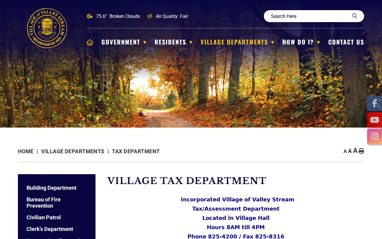
The roll can anchor a parcel in time, especially when read beside a deed reference. It cannot fill in renters, household members, or private contact details.
Valley Stream Building Files by Address
Building files can add a date-specific layer to a Valley Stream street record. The Village Building Department directs applications to OpenGov and ViewPoint Cloud through a free-account application path. Research verified that application route, not a historical public index searchable by address or name. The Village lists building, plumbing, electrical, fence, sign, pool, line-and-grade, floodplain, subdivision, and related permit categories. A permit applicant or owner is not necessarily the person living at the address.
For an older address record, use the documented building-records FOIL route. Request a specific address, record type, and date range. The Village says to allow up to five business days for retrieval or copies. A focused request is more useful than asking the Village to create a street-wide list that it may not hold or be required to create.
The Building Department page shows the verified application channel that accompanies address-specific records.
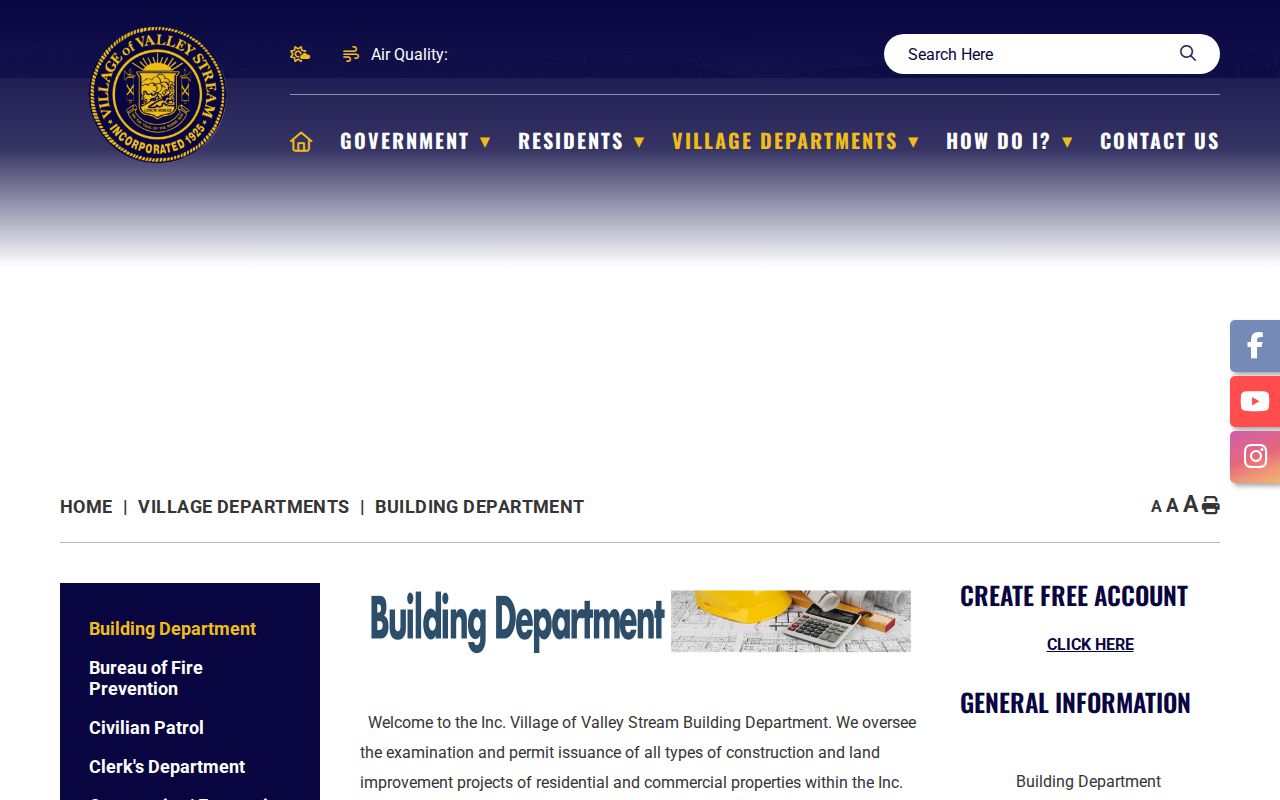
That application access is not evidence of a searchable historical permit database. It is a starting point for current applications, while a particular older file follows the records-request route.
The Village building-records page documents the FOIL channel for a clearly described Valley Stream address request.
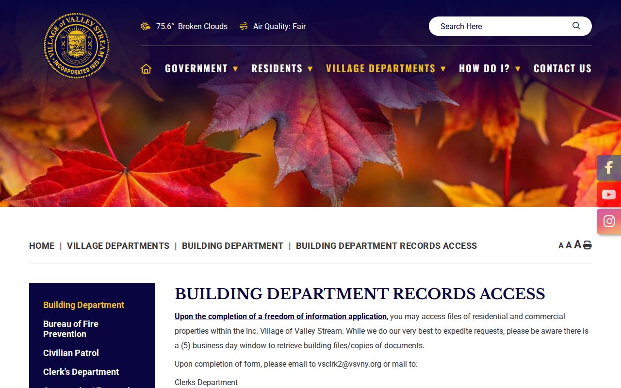
A request can yield releasable work or permit evidence, but privacy rules and the actual contents of the file still control what is available.
Valley Stream Street Deed Chains
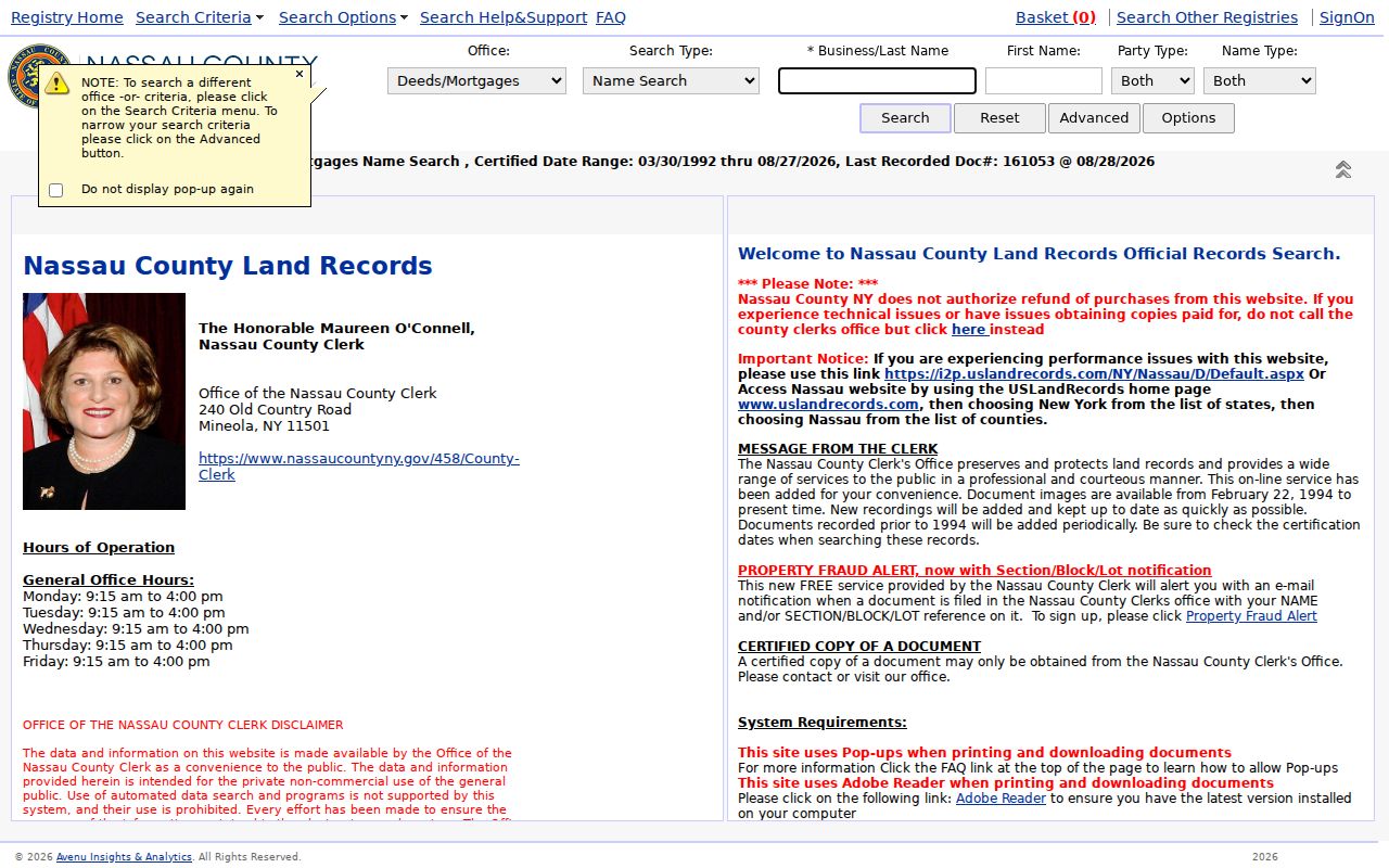
After the parcel search produces a party or dated deed lead, use the Nassau County Official Records Search to follow land instruments. Its Deeds and Mortgages search offers Name, Document, Book, Section, Reference, and Recorded Date modes. The Name path exposes last or business name, first name, party type, name type, optional advanced fields, document types, and date-from/date-to fields. A narrow party role, document type, and date range can separate a common name from a plausible property transaction.
The free index is not the same as document access. The portal describes images from February 22, 1994 forward through account and pay-per-access, while its published historical context identifies electronic records from 1992 and County land records reaching 1899. Older research may require the Nassau County Clerk's Map Room in basement Room B-1 at 240 Old Country Road, Mineola. A missing online image does not mean the deed was never recorded.
The Official Records Search capture shows the County Clerk's index environment used to move from a Valley Stream parcel lead to a recorded document.
Preserve the party role, type description, file date, document number, book or page, legal description, and SBL where shown. Each prior grantor can then become the next name or document search, one transaction at a time.
Valley Stream Street Records at the Clerk
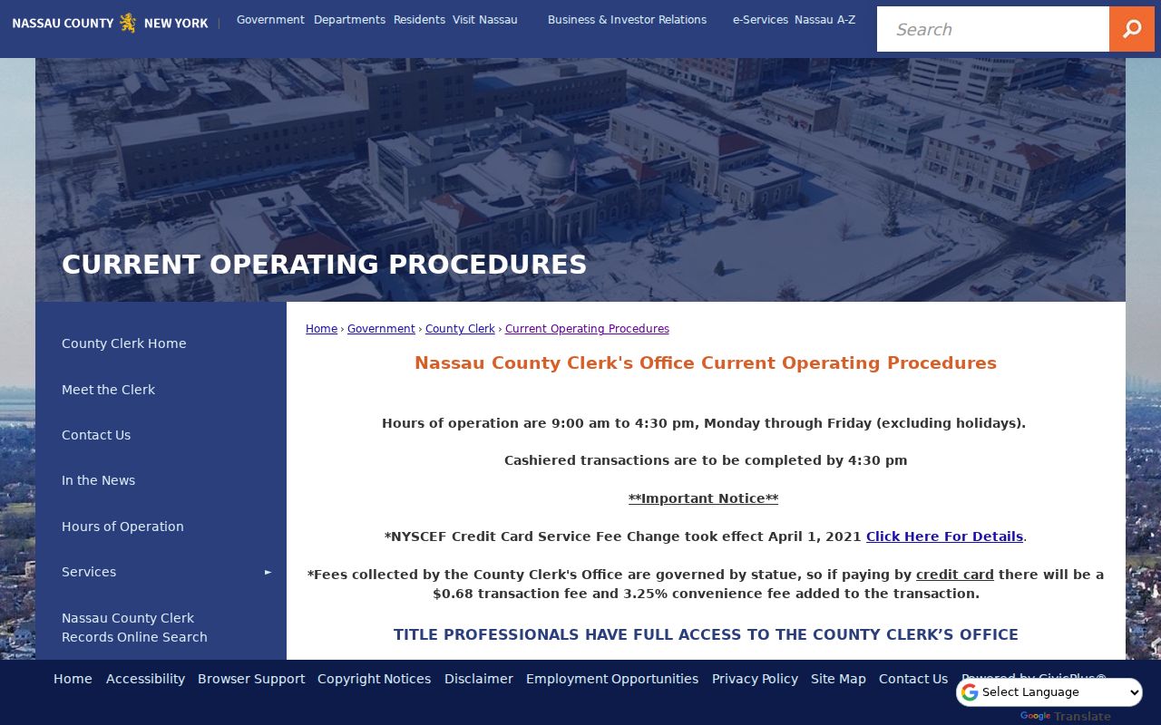
The Nassau County Clerk's Land Records Department is the fallback when a Valley Stream land image or older map is not available online. Its published operating procedures identify online, mail, delivery, lobby drop-box, and in-person channels. The Clerk is at 240 Old Country Road in Mineola and publishes weekday hours of 9 a.m. to 4:30 p.m. For a request, supply the best identifiers already found: SBL, legal description, recording date, liber and page, or document number. The office can then locate a particular item more reliably than it can interpret a broad street question.
The research also notes a County credit-card convenience fee and transaction fee where cards are used. Individual copy and certification fees should be confirmed with the Clerk before ordering. A Clerk record establishes a dated land action, not an unbroken title examination or a present address for a person.
The County Clerk procedures page documents the alternative access channels for a Valley Stream address search when the online index is insufficient.
For a long chain, write down each citation before moving to the next result. That simple record makes a counter visit, mail request, or later map-room search much more precise.
Note: The County's property-fraud alert is a notification service for recorded events, not a title guarantee or a conclusion that fraud occurred.
Historic Valley Stream Street Names
Historic name changes can make an apparently simple Valley Stream address search fail. Valley Stream Historical Society material says Wheeler Avenue was formerly Chapel Avenue, and historic references to Roosevelt or Second Street can refer to Legion Place. Honorary signs may also differ from a legal USPS street change. Search the modern address first, then check dated maps, newspapers, and historical material for aliases before deciding that a street or house is absent from an older source.
The records geography matters too. Litchfield's 1870 Plan of Property at Valley Stream was filed in Queens County because Nassau County did not form until 1899. A nineteenth-century property clue can therefore require a Queens-era repository instead of a Nassau search. VSHS also says the 1930 census was the first local census to note an actual house number with a street name, which limits early address matching.
For a street that later becomes a historic-household question, the Valley Stream city directory collections provide the local library and historical-society route for requesting a real volume or related newspaper, rather than treating an unverified reverse directory as available.
Valley Stream Street Directory Records
Several official and institutional sources attach a fact to a Valley Stream address, but their scope is different. The table separates parcel context, recorded land activity, municipal file access, and historical interpretation. It also shows why a name in one result should be checked against date, party role, SBL, and the actual document before it is used as an address lead.
| Address-linked source | Custodian | What the record can show | Access channel |
|---|---|---|---|
| Land Records Viewer | Nassau Department of Assessment | SBL, assessment data, district fields, maps, taxes, exemptions, and comparable-sales leads | Public address or SBL viewer; linked GIS |
| Village tax roll | Village Tax and Assessment Department | Parcel, owner mailing data, deed reference, values, exemptions, and tax history | Village roll or office |
| Recorded deeds and maps | Nassau County Clerk | Dated parties, document type and number, book or page, and legal-property evidence | Free index, paid images where available, Map Room or Clerk request |
| Building file or permit | Village Building Department | Potentially releasable dated work, applicant, or permit evidence | Application portal or targeted FOIL request |
| Maps, directories, newspapers | VSHS and Henry Waldinger Memorial Library | Historic street, map, and household context after the original item is inspected | Visit, reference request, or verified digital item |
New York's voter self-service tool is not in this table because it is for a voter to verify their own registration and polling information, not a public street roster. Utilities, DMV data, and delivery information are likewise not public sources for a by-address directory.
Valley Stream Address Jurisdiction
A Valley Stream postal address does not always establish an incorporated Village address. ZIP 11581 crosses that boundary: research identified one South Valley Stream 11581 parcel marked within the Village and another 11581 parcel with the Village field shown as N/A in the Town of Hempstead. Confirm the LRV Village field and, where needed, the Village tax roll. Postal city and ZIP are delivery labels, not a substitute for a parcel's legal jurisdiction.
This check also keeps a FOIL request with the right custodian. A Village building file or tax roll applies to the incorporated Village record system; a nearby postal address may require a different municipal route. Use the street and house number as displayed by the assessor, preserve the SBL, and compare the jurisdiction field before choosing an office.
Read Valley Stream Address Terms
Address records use short labels that can hide important distinctions. Reading those labels correctly prevents a parcel search from becoming a claim about a household. The terms below apply to the Valley Stream records chain described above.
- Parcel
- A defined piece of land recorded and assessed as a property unit; the LRV locates it through SBL and address information.
- Situs address
- The physical location of a property. It can differ from a mailing address used for notices.
- Plat or tax map
- A map that depicts lots or property boundaries. It helps place a parcel but does not name everyone at that address.
- Criss-cross directory
- A historical address-to-name style directory. Valley Stream availability must be physically confirmed before it is used as evidence.
- Grantor and grantee
- The transferring and receiving parties in a recorded land instrument; a party role is evidence of a dated transaction, not automatic residency.
Use the words appearing on the underlying record. Where an old source has a street alias or different house numbering, preserve both forms and the source date.
Limits of a Valley Stream Street Search
A Valley Stream street search cannot disclose a complete roster of people who live on a block. Parcel systems show property attributes and title-related information, not household composition. The voter lookup is self-service rather than a browseable street list. Utility customer, delivery, and DMV data are not public sources for a by-address directory. A historical directory, deed, tax-roll owner, or permit applicant is a dated record relationship and should never be written as a current-residence claim without direct, lawful confirmation.
New York also protects some location information. The Address Confidentiality Program uses a substitute address for eligible participants, and confidential-voter procedures protect qualifying election records. FOIL has privacy exemptions, and an agency need not create a custom resident list. An omitted result can reflect a boundary, date, name variation, legal protection, or a record held only at a counter. It does not prove that no person or property connection exists.